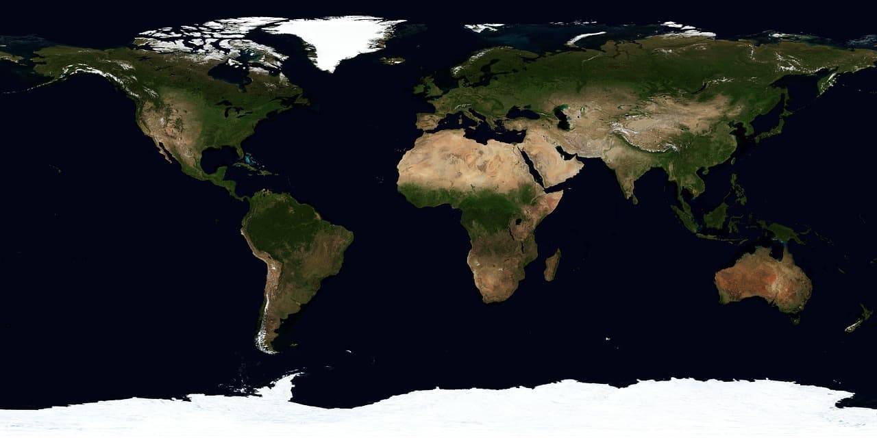
Google has released two foundational datasets, SatWeave and PARDIG, intended to help researchers and developers build weather, hydrology, and climate applications. Both datasets supported the recently announced WeatherNext 3 model.
SatWeave: an hourly, unified geostationary mosaic
SatWeave merges imagery from five geostationary satellites — GOES-East, GOES-West, Meteosat 0, Meteosat Indian Ocean, and Himawari — into a single global mosaic. These satellites use different map projections, file formats, sensors and scan schedules (with revisit intervals from 10 to 30 minutes), which makes producing a coherent global composite technically challenging. Many existing global composites sacrifice channels or refresh only every few hours.
SatWeave updates hourly, enabling WeatherNext 3 to produce global predictions initialized more frequently than models that rely on analysis data refreshed every six hours. Google is releasing both an hourly live feed and a historical archive that spans more than a decade.
Google has already used SatWeave within WeatherNext 3’s medium-range forecasts, and the company encourages the research and developer communities to explore additional use cases such as solar power forecasting and wildfire monitoring.
PARDIG: AI-based, high-resolution global precipitation
Precipitation is central to food and water resources and to flood and drought risk, but accurately tracking it worldwide remains difficult where ground radars and dense gauge networks are lacking.
PARDIG (Precipitation AI Reanalysis: Densely Inferred GPM) is an AI-driven global precipitation dataset trained on sparse spaceborne radar observations from the NASA Global Precipitation Measurement (GPM) Core Observatory. It uses SatWeave imagery and atmospheric fields from ECMWF as inputs. The output is a global precipitation product with 15-minute temporal resolution and roughly 10-kilometer spatial resolution, and an average latency of about five hours.
PARDIG was evaluated against three continental radar networks (in the United States, Europe, and Japan) and more than 36,000 weather stations worldwide. According to the reported evaluations, PARDIG outperforms leading global baseline products across all analyzed rainfall rates, including NASA’s IMERG-Final, a widely used research-quality precipitation estimate. PARDIG improved hourly precipitation detection skill over IMERG-Final by more than 30% for light-to-moderate precipitation, and showed particular strength in detecting extreme precipitation events.
Because PARDIG learns directly from satellite observations rather than relying solely on ground-based measurements, it is expected to provide reliable accuracy globally, including in regions with scarce ground radar coverage. Google is releasing both a live feed and a historical archive of PARDIG data covering 1999–2026.
Availability and intent
SatWeave and PARDIG live feeds and historical datasets are publicly available on Google Cloud Storage. PARDIG’s historical catalogs are also accessible through Google Earth Engine. As part of Google’s Earth AI portfolio, the datasets are meant to enable new connections between weather observations and practical applications in research and operations.
Development and acknowledgements
The work was developed by teams across Google DeepMind and Google Research, in collaboration with Google Cloud and Google Geo. Google thanks the organizations whose open satellite programs and datasets supported this effort, including ECMWF, NASA, JAXA, NOAA, EUMETSAT, KMA, JMA, KNMI, and Synoptic Data.