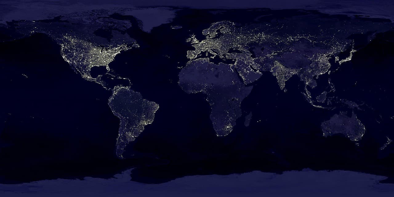
Timely, granular data are essential for public health. For chronic conditions such as cardiovascular disease or postpartum depression, such data guide where to concentrate resources; for acute outbreaks like dengue or cholera, they inform urgent operational decisions. Traditional epidemiological surveillance, however, is often limited by reporting lags, data fragmented by geopolitical borders, and sparse coverage. Even when data exist, conventional modeling typically requires extensive, task‑specific data collection and bespoke engineering pipelines that are hard to deploy during rapid outbreaks or in low‑resource settings.
To address these bottlenecks, Google Earth AI presents a new approach: planetary geospatial foundation models. As a proof‑of‑concept, the Population Dynamics Foundation Model (PDFM) produces self‑supervised, pre‑trained location embeddings — monthly ‘‘fingerprints’’ that summarize social, behavioral, and environmental determinants of place. These privacy‑preserving embeddings combine multiple aggregated signals and are designed to be plugged into existing statistical and machine‑learning epidemiology workflows without building new pipelines from scratch.
What PDFM encodes
PDFM, part of Google Earth AI, synthesizes data sources including satellite imagery, weather, anonymized search trends, and human mobility. Using self‑supervised learning it compresses these signals into compact monthly embeddings that include:
- Aggregated search trends: community‑level search frequencies for topics and resources.
- Built environment and mobility: local density and busyness of places such as pharmacies, clinics, and parks.
- Environmental determinants: high‑resolution weather and air quality metrics and statistics.
Instead of requiring researchers to ingest and process these raw streams themselves, PDFM embeddings can be inserted as off‑the‑shelf geospatial context into existing models. Prior work showed these embeddings are task‑agnostic because everyday signals capture underlying determinants of health. To establish broader utility for global health, Google and partners conducted independent evaluations across a variety of health challenges worldwide.
Validation matrix — five public health use cases
Independent partners evaluated PDFM across five public health challenges covering multiple epidemiological tasks, resource environments, and disease types:
-
MMR vaccination (immunization) — Mount Sinai Health System; Boston Children’s Hospital — Task: cross‑border extrapolation — Scope: US–Canada border, 146 border counties. Key result: +36% relative gain in explained variance (0.159 → 0.216, statistically significant) by capturing cross‑border mobility and information spillovers.
-
Cardiovascular disease (noncommunicable) — Department of Population Health, NYU Grossman School of Medicine — Task: mortality nowcasting & interpolation — Scope: contiguous United States, 3,091 counties. Key result: comparable accuracy to census‑based models for nowcasting (mean absolute error 18.7 vs 19.1 deaths per county; RMSE 46.00 vs 57.69; differences not statistically significant), indicating PDFM can serve as a timely substitute when census inputs are outdated or unavailable.
-
Dengue outbreaks (vector‑borne) — University of Oxford and Tecnológico de Monterrey — Task: short‑horizon probabilistic forecasting — Scope: Mexico, ~2,450 municipalities. Key result: statistically significant 1‑month forecast gain (Δ Weighted Interval Score = -0.0051, lower is better), concentrated in active transmission hotspots; forecast accuracy improved in up to 72% of active transmission municipalities.
-
Postpartum depression (mental health) — Institute on Human Development and Disability, University of Washington — Task: individual risk prediction — Scope: United States, CDC PRAMS (332,970 respondents). Key result: transferable gain in risk prediction (AUC +0.0020 on a 0.62 baseline in seen states; +0.0038 in unseen states). PDFM encoded area poverty (R² = 0.45) and recovered roughly 15% of the predictive signal of income and insurance records.
-
Cholera emergence (water‑borne) — WHO AFRO — Task: outbreak onset prediction — Scope: Democratic Republic of the Congo, 403 health zones over 89 weeks. Key result: statistically significant relative gains — +9.7% in Area Under the Precision‑Recall Curve at 4 weeks; +18.1% Precision@5 at 8 weeks; +19.3% Precision@5 in endemic health zones.
Example applications and impacts
-
Capturing cross‑border dynamics in immunization: In the 146 U.S. counties within 150 km of the Canadian border, domestic‑only models struggled to predict local MMR uptake. By supplementing U.S. county embeddings with Canadian Forward Sortation Area embeddings, Mount Sinai Health System and Boston Children’s Hospital captured cross‑border behavioral and mobility spillovers. This increased the share of variation in MMR coverage explained from 16% to 22% (a 36% relative increase) and refined coverage estimates by at least 3 percentage points for 4.7 million border residents.
-
Reducing reporting lags for chronic disease surveillance: Cardiovascular disease causes over 916,000 deaths annually in the U.S. but county‑level mortality data from the National Vital Statistics System typically lag 1–2 years; American Community Survey covariates reflect conditions up to 2–3 years prior. NYU Grossman School of Medicine tested whether PDFM could substitute for census inputs when nowcasting 2023 county‑level CVD deaths across ~3,100 counties. Models using PDFM were about as accurate as those using ACS demographic and socioeconomic covariates (average error 18.7 vs 19.1 deaths per county) and reduced large outlier errors (RMSE) by 20% (57.7 → 46.0). PDFM embeddings were built from a single month of data and are available in 17 countries, while ACS covers only the U.S.
-
Sharpening outbreak forecasts where timing matters: For dengue in Mexico (~2,450 municipalities, 2020–2025), coupling PDFM with TimesFM 2.0 improved one‑month‑ahead forecasts, with accuracy gains concentrated in active transmission municipalities and improvement in up to 72% of those areas. These gains are most valuable for decisions on vector control and clinical staffing.
-
Extending clinical screening across geographies: Screening for postpartum depression typically depends on clinical intake data that may miss community context. The University of Washington evaluated PDFM on 332,970 CDC PRAMS participants and found that adding PDFM embeddings improved individual risk prediction and encoded area‑level socioeconomic conditions (R² = 0.45). The embeddings produced transferable signals in states not seen during training, recovering about 15% of the predictive value of income and insurance when those data are missing. In simulations, adding PDFM could help reach 5,640 more rural mothers annually when following up the top 20% highest‑risk mothers, or reduce 17,723 false alarms per year when aiming to catch 80% of cases.
-
Extending lead times for cholera preparedness: Using IDSR surveillance data from the Democratic Republic of the Congo, a lightweight PDFM adapted for low‑connectivity regions did not improve 1–2 week predictions (recent cases dominated short horizons) but did improve 4–8 week forecasts useful for prepositioning supplies. At eight weeks, PDFM increased the model’s top‑5 weekly picks that later experienced an outbreak from 1.78 to 2.10 (an 18% improvement). In 15 zones with frequent cholera, Precision@5 at eight weeks rose from 0.3333 to 0.3975 (19% gain).
Limitations and next steps
Geospatial foundation models offer a path from reactive, local modeling to proactive, time‑sensitive health intelligence at planetary scale. Current limitations include static snapshot representations and transfer challenges for under‑connected regions. Ongoing research focuses on temporally dynamic embeddings and geographic transfer learning to address these gaps.
By integrating planetary contextual data into existing public health workflows, these embeddings can help guide resource allocation, interventions, and outbreak alerts more effectively. PDFM embeddings are commercially available in Preview as Population Dynamics Insights via Google Maps Platform, and academics and public health researchers can request no‑cost access for selected, non‑operational research use cases.