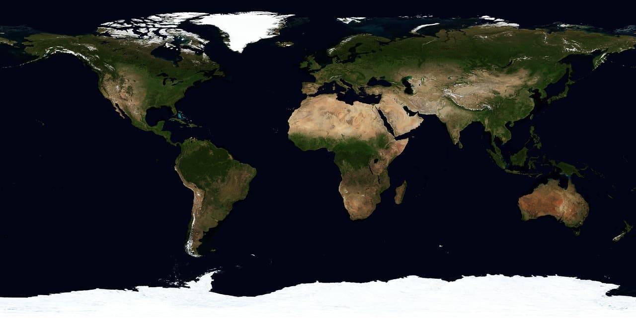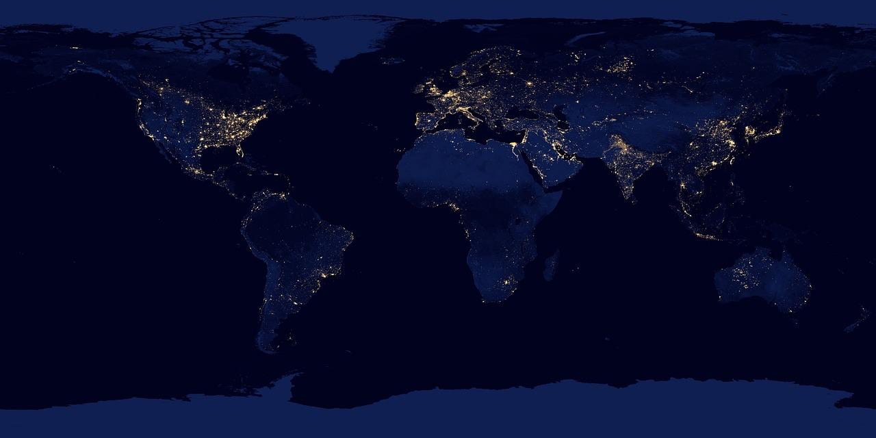
The Faculty of Informatics of Eötvös Loránd University (ELTE IK), the Lechner Tudásközpont (Lechner Knowledge Centre) and the Neumann János Számítógéptudományi Társaság (NJSZT, John von Neumann Computer Society) have signed a framework cooperation agreement to pool their complementary skills in satellite earth observation, geoinformatics and artificial intelligence. The partnership aims to produce more precise environmental information to support understanding of climate impacts and to design adaptation measures through joint research, technology development and practice‑oriented education.
Main research directions
Priority research areas include large‑scale observation and modelling of extreme weather and environmental phenomena. Planned applications include:
- mapping spatial extent of drought and changes in soil moisture,
- studying desertification trends,
- analysing formation of urban heat islands,
- monitoring land cover change, vegetation condition and flooded areas.
The partners plan to use GeoAI methods—large language models and deep learning techniques such as convolutional neural networks—to detect complex patterns in large volumes of imagery and spectral data. These methods enable automated multi‑temporal comparisons that reveal both current states and long‑term changes.
Data sources and access
A central issue for the joint work is which earth observation datasets are available and under what terms they can be used. Significant volumes of satellite data are freely accessible through the European Space Agency (ESA) and the Copernicus programme, providing favourable conditions for scientific research and algorithm development. Satellite sensors also collect information beyond visible light: infrared and other spectral bands allow observation of phenomena not apparent on standard optical images.
Certain tasks, however, require much higher spatial resolution. The Lechner Tudásközpont’s holdings—high‑resolution orthophotos from national aerial surveys, LiDAR point clouds and other geospatial datasets—are particularly valuable for detailed analyses. The cooperation therefore aims both to develop new analytical methods and to clarify the possibilities and conditions for research use of diverse datasets.
Geospatial data infrastructure and strategic fit
The partners intend to advocate jointly for building and modernising Hungary’s geospatial data infrastructure. This effort is closely linked to the Lechner Tudásközpont’s 2026–2030 Téradat‑stratégia (Spatial Data Strategy), whose objectives include establishing a National Spatial Data Ecosystem to ensure wider reuse of the country’s geospatial assets and strengthen collaboration among state, academic, innovation and market actors.
Education and hands‑on training
The agreement expands existing ties between ELTE and the Lechner Tudásközpont in education. Expected activities include guest lectures, specialised courses, jointly offered thesis topics and practical internships. The goal is for students to work with real datasets on real R&D problems, gaining experience in processing large data volumes, developing AI models and interpreting results for practical use.
Joint research projects and funding
ELTE IK’s methodological and research competencies, Lechner Tudásközpont’s geospatial expertise and data assets, and NJSZT’s professional and corporate networks are intended to complement each other in the partnership. A further objective is to prepare joint national and international research and development proposals, notably those linked to European earth observation and space technology programmes.
Expected outcomes and application areas
In the longer term, the cooperation should enable the combination of Hungary’s geospatial datasets with advanced AI methods to produce solutions useful not only for scientific research but also for environmental protection, agriculture and urban planning.